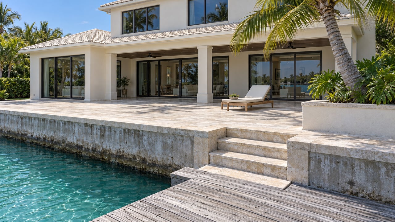
Leave an Aqualane Shores canal, go out across Naples Bay and turn south at Gordon Pass, and you're on the inside route behind Keewaydin Island toward Big Marco Pass. That route is marked by fixed daybeacons. The U.S. Coast Guard's Local Notice to Mariners dated Oct. 21, 2026 lists more than 20 of them as destroyed or missing. It also proposes replacing 13 with unlighted floating aids, which can be moved.
The proposal treats the channel as something that shifts over time, and two federal agencies are now planning around that. For a boat leaving a canal off Naples Bay, the run south this winter will depend on markers placed where the water is deep now, and those spots may change.
What the Oct. 21 notice lists
The notice names the Big Marco Pass–Gordon Pass daybeacons by number. Here is how the October list sorts out.
| Status in the Oct. 21, 2026 notice | Daybeacons | On the floating-aid proposal? |
|---|---|---|
| Structure destroyed | 1A, 2, 17, 28A, 36, 40, 53, 60, 65, 66, 68 | Yes |
| Structure missing | 2A, 67 | Yes |
| Structure missing | 3, 56 | No |
| Structure destroyed | 26, 33, 44, 46 | No |
| Structure destroyed, flagged as a hazard to navigation | 27A | No |
| Structure destroyed, listed under temporary changes as discontinued | 18A | No |
Look at Daybeacon 27A. It's the only aid on this stretch that the notice flags as a hazard to navigation, and it isn't on the conversion list.
Why the Coast Guard wants floating aids
The notice states its reasoning plainly. Coast Guard vessels can't reach the fixed structures because the water around them is too shallow. Converting them to unlighted floating aids "will allow for timelier relocation of Aids when shoaling evolves," which the Coast Guard says "will provide a safer and more reliable channel for the mariners."
A fixed aid marks one spot. When the shoals shift, it stays where it is. According to the notice, floating aids can be relocated as the shoaling changes. The 13 proposed conversions are Daybeacons 1A, 2, 2A, 17, 28A, 36, 40, 53, 60, 65, 66, 67 and 68. The notice gives the proposal a window running from Sept. 2, 2026 to Aug. 8, 2031.
The replacements would also be unlighted.
The Corps describes the channel the same way
The U.S. Army Corps of Engineers reached the same conclusion from another direction. Its draft environmental assessment for the Naples to Big Marco Pass federal project, dated October 2026, describes the stretch between the two passes as an "uncontrolled" channel.
"'Uncontrolled' refers to a navigation channel which follows best water (naturally deep areas) rather than an exact alignment specified in the project authorization reports."
The channel has an authorized depth and width, but no fixed coordinates set its route. The channel follows the deep water, and when the deep water shifts, the channel shifts with it. That explains why the Coast Guard wants markers it can move.
The assessment also shows how unevenly the two ends of the route have been maintained. Gordon Pass has been dredged since it was first built in 1960, most recently in 2025. Big Marco Pass hasn't been maintained since its original construction. The Corps gives two reasons: there were few places to put the dredged sand, and shoaling there had been slow. In 2024 the Coast Guard identified a need to dredge Cuts J through O near Big Marco Pass and Cuts 1 through 3 of the uncontrolled channel. The draft says shoaling "has reduced the navigable depth" there and proposes maintenance dredging to restore it. It also notes that the Coast Guard raised safety concerns about the existing shoals with the Corps.
It's still a draft. No dredge is scheduled for Big Marco Pass, and the marker conversion is still a proposal.
Gordon Pass, the end closest to home
The Gordon Pass end was dredged last winter. In a release published Sept. 16, 2025, the Corps announced a $3,045,784.37 contract with Southwind Construction to dredge Gordon Pass Cuts 1 through 7 and the settling basin. The plan was to place about 65,000 cubic yards of beach-compatible sand on Keewaydin Island. A later Coast Guard notice described hydraulic dredging in Gordon Pass and the inland waterway near Naples, with sand going to Keewaydin and an estimated completion date of Dec. 31, 2025.
So boats leaving Naples Bay this winter go out through a pass dredged within the past year. Farther south, the Coast Guard expects the shoals to keep moving.
Fuel and pump-out closer to home
The usual stops close to Aqualane Shores have changed too. The Naples Yacht Club marina page says the marina is closed for construction, with no fuel, dockage or pickups available, and it gives no reopening date.
The City of Naples' Naples City Dock at 880 12th Ave. S. currently lists:
- A public fuel dock selling Rec 90 gasoline and off-highway diesel
- A free pump-out station open 24 hours a day, seven days a week
- Transient dockage at $3.25 per foot per night, with reservations accepted up to three months ahead
- Annual dockage with a waitlist
Until the Yacht Club marina reopens, City Dock is the public fuel stop on this part of Naples Bay. Plan for that on any trip south behind Keewaydin, since some of the markers on that route may have been moved since your last run.
The speed rules stay the same all year
Under Florida Fish and Wildlife Conservation Commission Rule 68C-22.023, the Naples Bay and Gordon Pass area is a year-round slow speed zone, not a seasonal one. The rule allows 30 mph only in specified marked channels. These include the Naples Bay channel from south of marker 33 to north of marker 52 and a marked segment of the Gordon Pass channel. The rule page lists an effective date of Feb. 19, 2018. The FWC's manatee zone maps show only FWC zones. The agency warns that other local, state or federal zones may also apply, so posted signs are the final word.
Keewaydin has its own calendar. Rookery Bay National Estuarine Research Reserve lists restricted access to bird-nesting areas at Keewaydin from March through August. Camping is allowed year-round only in designated locations unless otherwise posted.
This is general information, not legal advice. Confirm current rules with FWC, the reserve or the Coast Guard before you head out.
The comment window closes Monday
As this post goes up on Thursday, the floating-aid proposal is still open for comment. Under the Oct. 21 notice, comments go by email to [email protected] or [email protected], with "Big Marco/Gordon Pass" as the subject line. Comments can also be mailed to Commander (dpw), U.S. Coast Guard Southeast District, 909 SE 1st Ave, Suite 406, Brickell Plaza Federal Building, Miami, FL 33131-3050. Either way, they have to be received by Nov. 2, 2026, which is four days after this post goes up.
Local Notices come out weekly, and the status of individual aids changes between them. The Coast Guard Navigation Center posts them as PDFs, and the Big Marco Pass–Gordon Pass entries are listed by daybeacon number.
There's also a date on the calendar. The Naples Boat Show returns Jan. 21–24, 2027, with in-water exhibits at Naples City Dock and land exhibits at Sugden Regional Park. The show's FAQ lists hours of 10 a.m. to 5 p.m. daily, admission at $15 in advance or $20 at the gate, and free shuttles running to both entrances. That makes City Dock busier than usual for those four days in January.
If you're weighing a canal home in Aqualane Shores and want to understand how a particular dock connects to Naples Bay, Gordon Pass and the run south, I'm glad to go over it with you. Linda Kennedy. Let's Connect.